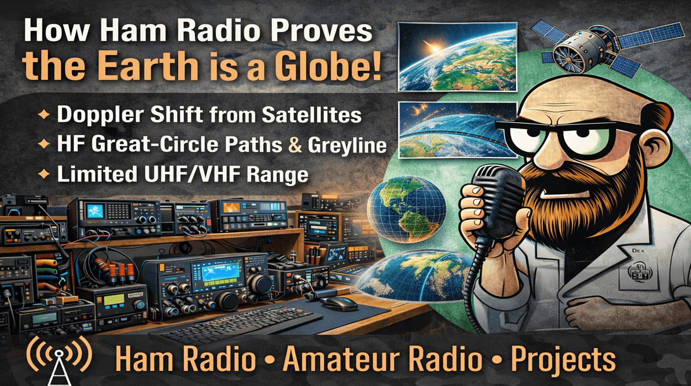
How Amateur Radio points to a globe-shaped Earth
How ham radio points to a globe-shaped Earth (with real, measurable details)
Ham radio isn’t “a proof” in the math-theorem sense, but it *is* a hands-on laboratory. With nothing more than common gear—an HF rig, a VHF/UHF radio, a simple antenna, and (optionally) an SDR—you can observe propagation behaviors that line up tightly with a spherical Earth, an atmosphere wrapped around it, and satellites orbiting it.
Below are several independent, repeatable ham-radio observations that collectively make the “globe + ionosphere + orbital mechanics” model feel less like an abstract claim and more like something you can *measure*.
VHF/UHF line-of-sight and the radio horizon
At VHF and UHF (say 2 meters / 70 cm), signals usually travel mostly line-of-sight. If the Earth were flat, you’d expect far more consistent long-range ground-to-ground coverage given enough antenna height. Instead, there’s a predictable limit: as distance increases, the Earth’s curvature blocks the path unless you add height (towers, mountains, aircraft) or use special propagation.
A widely used approximation for the **radio horizon** distance is:
[
d \approx 3.57\left(\sqrt{h_1} + \sqrt{h_2}\right)
]
Where:
- (d) is distance in **kilometers**
- (h_1, h_2) are antenna heights in **meters**
- The constant bakes in Earth curvature plus typical atmospheric refraction (often modeled as an “effective Earth radius” ~4/3 of actual).
**Example:** Two stations, each antenna 10 m above ground:
- (\sqrt{10} \approx 3.16)
- (d \approx 3.57(3.16 + 3.16)=3.57(6.32)\approx 22.6\text{ km})
That’s in the same ballpark you’ll experience on 2m FM simplex under normal conditions. Raise one antenna to a 300 m hilltop and suddenly your local coverage footprint expands dramatically—again matching a curved surface geometry.
**Why this matters:** The way range scales with the *square root of height* is exactly what you expect when you’re “peeking” over a curved horizon. It’s not just “signals get weaker”—it’s a geometric limit you can beat with height in a very specific way.
Great-circle routing shows up in HF “where the signal comes from”
On HF, signals often travel by **skywave**: up into the ionosphere, refracted back down, and potentially hopping around the planet. When you use direction-finding (even crude) you’ll discover that long-distance signals often arrive from directions that make sense on a globe:
- The shortest path between two distant points on a sphere is a **great-circle route**.
- Great-circle headings are sometimes *surprising* compared to flat-map intuition (especially at high latitudes).
- Operators doing DF (or using directional antennas like beams) frequently observe arrival directions consistent with great-circle and multi-hop paths, including polar routes when conditions allow.
**A practical ham way to see this:** Log contacts with azimuth bearings (from a beam’s peak or from an SDR/loop DF setup) and compare with great-circle bearings from standard mapping tools. You’ll see consistent alignment over time—plus predictable deviations caused by ionospheric conditions.
Greyline propagation: the moving “terminator” you can chase around the planet
“Greyline” (or “terminator”) propagation is the boost many hams notice around sunrise/sunset paths. The key observation is *global timing and geometry*:
- The day/night boundary is a moving curve on a globe.
- As it sweeps across Earth, ionospheric chemistry changes (D-layer absorption drops at night; F-layer behavior shifts), altering HF paths.
- You’ll often find that paths lying near that sunrise/sunset boundary become dramatically stronger for a window of time.
**Why this supports the globe model:** The pattern is strongly tied to *where sunrise and sunset are happening at the same time along a path*, and those times vary by longitude/latitude in a way that matches a spherical Earth with a rotating day-night terminator.
Satellite passes: Doppler shift is measurable, predictable, and orbit-shaped
This is the most “instrument-like” evidence because you can directly measure frequency shift caused by relative motion.
The Doppler equation
For radio frequencies, the Doppler shift is well-approximated by:
\Delta f \approx \left(\frac{v_r}{c}\right) f
Where:
- (\Delta f) = frequency shift (Hz)
- (v_r) = **radial** relative velocity between transmitter and receiver (m/s)
- (positive if moving toward you, negative if moving away—sign conventions vary, but the magnitude is what matters)
- (c) = speed of light (\approx 3.00\times10^8\text{ m/s})
- (f) = transmit frequency (Hz)
Low Earth orbit (LEO) satellites move about **7.5 km/s** relative to Earth’s surface. The *radial* component during a pass changes continuously: approaching → near-zero at closest approach → receding.
What you can actually see on 2m and 70cm
Take a typical VHF downlink around **145.800 MHz**:
- f (v_r \approx 7{,}500\text{ m/s})
- (\frac{v_r}{c} \approx \frac{7.5\times10^3}{3.0\times10^8} = 2.5\times10^{-5})
- (\Delta f \approx 2.5\times10^{-5}\times 145.8\times10^6 \approx 3{,}645\text{ Hz})
So you should expect on the order of **±3.6 kHz** shift across a pass at ~145.8 MHz. Now do **435 MHz** (70 cm satellite downlinks are common around here):
(\Delta f \approx 2.5\times10^{-5}\times 435\times10^6 \approx 10{,}875\text{ Hz})
That’s roughly **±11 kHz** across a pass—big enough that you often *must* retune in steps or use Doppler correction in your software.
Why Doppler behavior points to orbit + globe geometry
1. **The shift changes smoothly** during a pass, matching the changing radial velocity as the satellite approaches and recedes.
2. **Time and direction match predictions**: satellite tracking software (based on orbital elements) predicts when it rises above your horizon, its azimuth/elevation track, and the Doppler curve. Your measured frequency drift matches those predictions closely.
3. **Horizon-limited visibility**: You don’t hear a LEO satellite all day; you hear it for the portion of its orbit where it’s above your local radio horizon—again tying back to curvature and line-of-sight.
**Try it yourself (simple experiment):**
- Use an SDR or a VHF/UHF rig with a stable reference.
- Record a satellite downlink waterfall for a full pass.
- Measure the frequency offset vs time.
- Compare to predicted Doppler from common tracking programs.
You’ll get a remarkably tight match, especially if your receiver is frequency-stable.
EME (Earth–Moon–Earth) contacts: geometry and timing that’s hard to fake
EME (“moonbounce”) is exactly what it sounds like: you transmit toward the Moon, and a tiny fraction of your signal reflects back to Earth and is received by someone else (or by you).
Key globe-consistent observations include:
- **Pointing matters**: stations must aim antennas at the Moon’s position in the sky (azimuth/elevation varies by location and time).
- **Path loss is enormous** and predictable with distance and frequency.
- **Delay exists**: the round-trip path is about (2 \times 384{,}400\text{ km}), so the signal travel time is roughly:
t \approx \frac{768{,}800\text{ km}}{299{,}792\text{ km/s}} \approx 2.56\text{ s}
Operators doing EME and related tests can observe timing effects consistent with that scale.
This sits very naturally in a globe + celestial mechanics model because the relative positions and angles are continuously changing in a way you can calculate and verify by pointing and timing.
Multiple independent effects agree with one coherent model
Any single observation can be hand-waved. The compelling part is how many *different* ham phenomena lock together:
- VHF/UHF range scales with antenna height like a curved horizon problem.
- HF propagation and arrival directions align with great-circle paths and global day/night structure.
- Greyline effects follow the moving sunrise/sunset boundary across a spherical Earth.
- Satellite Doppler shift is quantitatively correct (kHz-scale at VHF/UHF), and the timing/track matches orbital predictions.
- EME works when you point where the Moon actually is, with losses and delays consistent with real distances.
When multiple measurements from different bands, modes, and mechanisms all agree, it’s strong practical evidence that the underlying geometry is the one we already use: a globe Earth with an ionosphere and orbiting spacecraft.
If you want, tell me what bands you operate (HF only, 2m/70cm, satellites, SDR access), and I’ll tailor the article into a “do these 3 experiments” guide with exact frequencies/modes to try and what plots or logs to capture (especially for Doppler waterfalls).